3D model of the Eastern Cordillera of Colombia
03 December 2019
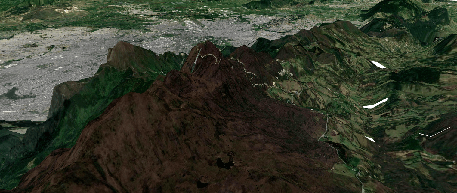
As part of my Masters Thesis at Universidad de los Andes, where I wanted to understand past changes in the Eastern Cordillera de los Andes in Colombia, I worked in a páramo located near Bogotá, specifically, on the east side of the mountains. For my presentation and poster at AGU100, I created this 3D view of the study site using QGIS and DEM data available at Earth Explorer.