Bucaramanga, COVID-19 and Public Transport
19 November 2020
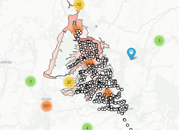
In September I enrrolled in the Data Science for All course promoted by the Ministry of Science of Colombia and Correlation One, where I have learnt advanced techniques in data analysis and visualization. With my team, we have worked with the Mayor’s Office of Bucaramanga to build a web app that enabled the user to visualize survey data collected during the pnademic about people’s workplace and home locations, so as to determine areas of possible overcrowding and mitigate COVID-19 cases via contact. For this particular project, I was in charge of developing the maps to visualize survey data and public transport stations. You can see the app hosted in AWS here.